Despite the sad sounding title, today was really good! I hopped off the CDT for another alternate route up Titcomb Basin to Knapsack Col.
This basin was gorgeous and packed with people. (Relatively. I saw like 5 groups.) Its also seems to be the main route to climb Gannet Peak, the highest mountain in Wyoming.
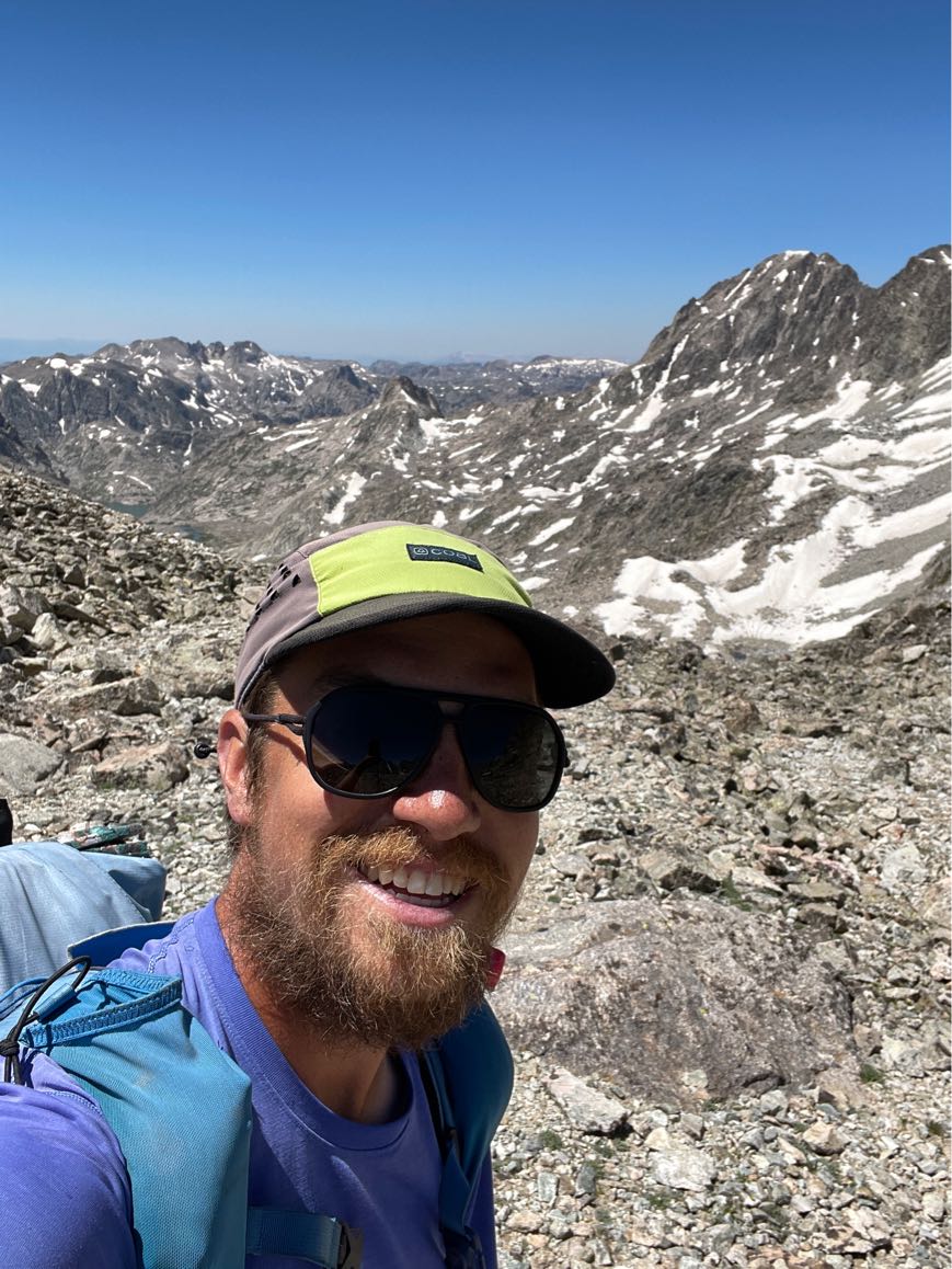
I made my way up the basin past the lakes and found myself here, the end of the road. I would have to scramble up a ton of rocks and then up and over the col. This proved to be slow going, but rewarding.

I definitely went the wrong way a few times and found myself scrambling, over, around, and sometimes under truck sized rocks.

No worries, because I made it to the top eventually, and with time to hike a full 30 miles! Luckily the way down was mostly snow free and there was more or less a trail to follow.
From there I descended down following the melt from the glaciers in the basin on the other side. When I reached a lake at the bottom I finally saw another CDT hiker. It was 700, who was a day ahead of me when I got off trail.
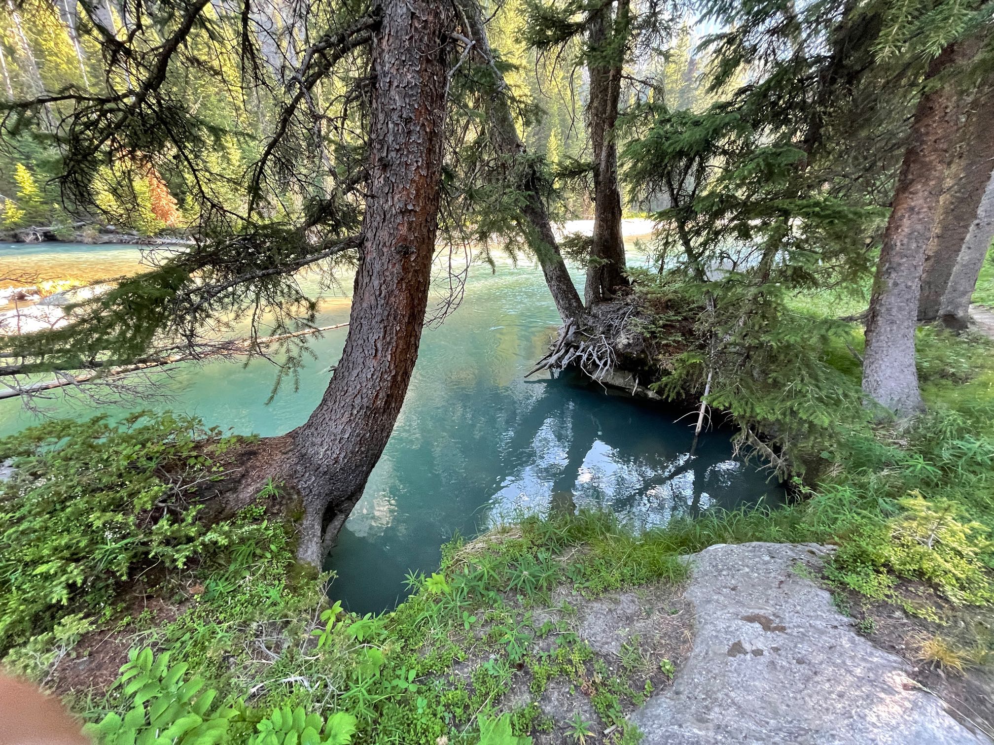
After that the trail descended a near 4000 feet to where the Geeen River flattens out.
I think that glacial melt I mentioned is why the river is green. Glaciers crush the rock beneath them and carry the silt down as they melt. This can lead to a milky white or green color. There’s even a Green River in Washington for the same reason.
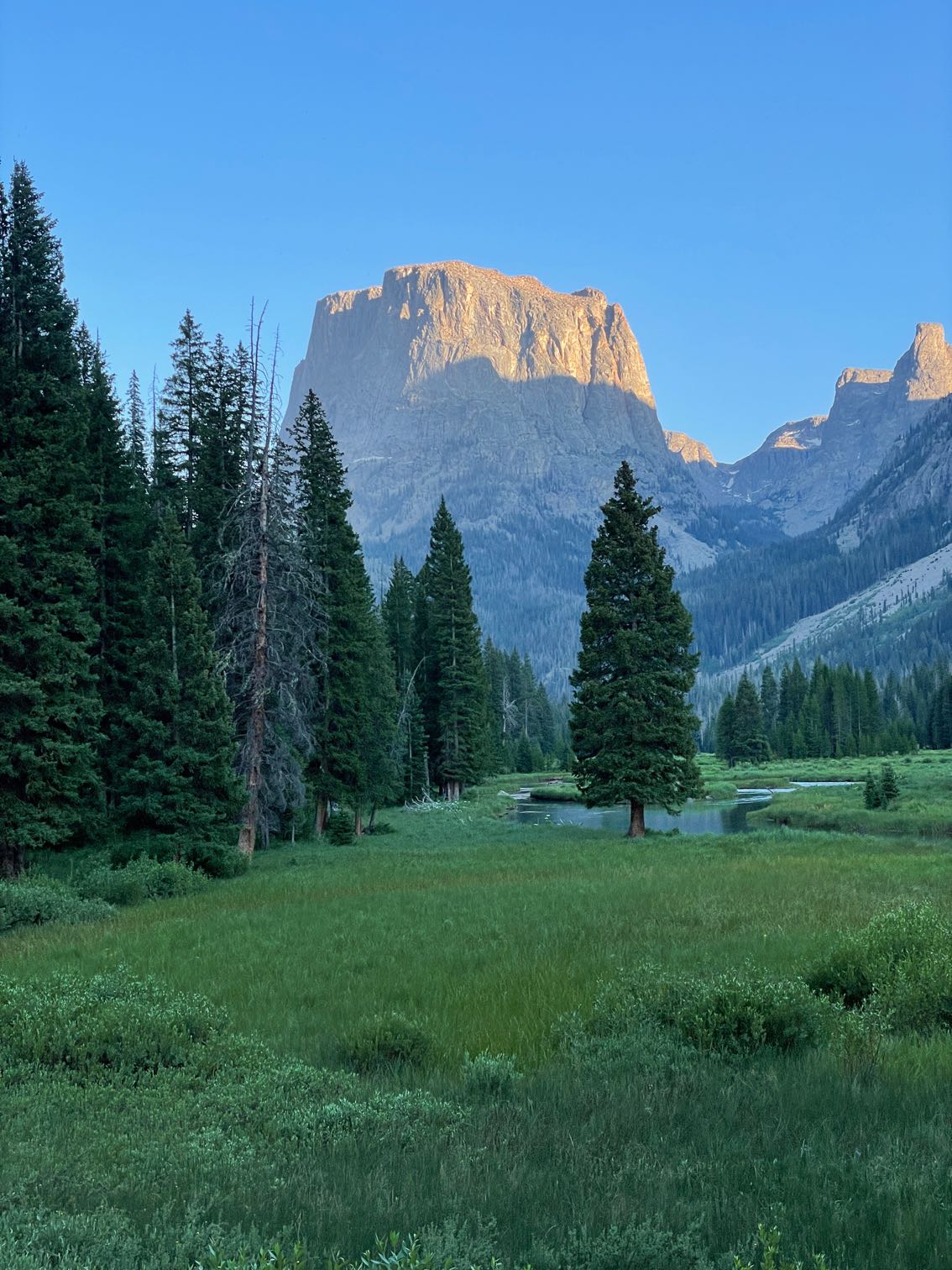
As I hiked along the river, I realized I was saying goodbye to the Winds. I turned around often and got great views like this.
I still have a couple days before town so hopefully they’re not done wowing me yet. These last few days of hiking have been some of the best ever, even if I was alone.
Right at the end of the day I passed another thru hiker I hadn’t met before. We were both looking for camping and when I got to a site first, I offered for him to stay too. It was nice having some company again.